
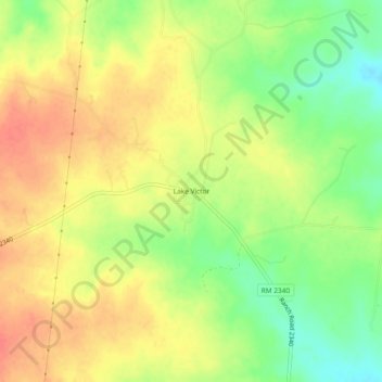
Lake Victor topographic map
Interactive map
Click on the map to display elevation.
About this map
Name: Lake Victor topographic map, elevation, terrain.
Location: Lake Victor, Burnet County, Texas, USA (30.88907 -98.21336 30.92907 -98.17336)
Average elevation: 427 m
Minimum elevation: 397 m
Maximum elevation: 449 m