
Inverness topographic map
Interactive map
Click on the map to display elevation.
About this map
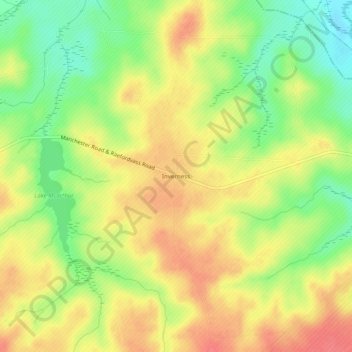
Name: Inverness topographic map, elevation, terrain.
Location: Inverness, Hoke County, North Carolina, 28394, USA (35.16155 -79.26058 35.20155 -79.22058)
Average elevation: 95 m
Minimum elevation: 61 m
Maximum elevation: 123 m