
Angul topographic map
Interactive map
Click on the map to display elevation.
About this map
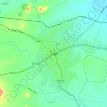
Name: Angul topographic map, elevation, terrain.
Location: Angul, Anugul, Odisha, 759122, India (20.79824 85.05739 20.87824 85.13739)
Average elevation: 121 m
Minimum elevation: 86 m
Maximum elevation: 237 m