
Mauke topographic map
Interactive map
Click on the map to display elevation.
About this map
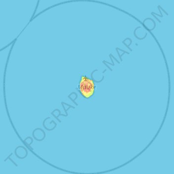
Name: Mauke topographic map, elevation, terrain.
Location: Mauke, Cook Islands (-20.38844 -157.57361 -19.93298 -157.10893)
Average elevation: 0 m
Minimum elevation: 0 m
Maximum elevation: 34 m
Other topographic maps
Click on a map to view its topography, its elevation and its terrain.
Mauke
Cook Islands > Mauke > Kimiangatau
Mauke, Kimiangatau, Mauke, Cook Islands
Average elevation: 10 m