
Stanford topographic map
Interactive map
Click on the map to display elevation.
About this map
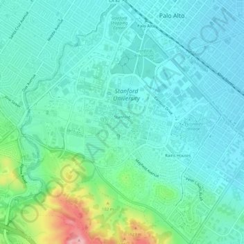
Name: Stanford topographic map, elevation, terrain.
Location: Stanford, Santa Clara County, California, USA (37.40662 -122.19132 37.44694 -122.14951)
Average elevation: 39 m
Minimum elevation: 8 m
Maximum elevation: 159 m