
Rock Crossing topographic map
Interactive map
Click on the map to display elevation.
About this map
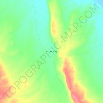
Name: Rock Crossing topographic map, elevation, terrain.
Location: Rock Crossing, Mohave County, Arizona, USA (36.70609 -113.36190 36.74609 -113.32190)
Average elevation: 1,324 m
Minimum elevation: 1,285 m
Maximum elevation: 1,383 m