
Chatham topographic map
Interactive map
Click on the map to display elevation.
About this map
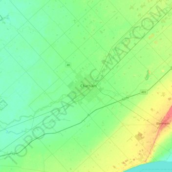
Name: Chatham topographic map, elevation, terrain.
Location: Chatham, Chatham-Kent, Ontario, N7L 1B7, Canada (42.24521 -82.35147 42.56521 -82.03147)
Average elevation: 183 m
Minimum elevation: 170 m
Maximum elevation: 218 m