
Lake Rotongaio topographic map
Interactive map
Click on the map to display elevation.
About this map
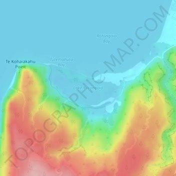
Name: Lake Rotongaio topographic map, elevation, terrain.
Average elevation: 403 m
Minimum elevation: 355 m
Maximum elevation: 507 m
Other topographic maps
Click on a map to view its topography, its elevation and its terrain.
Waitahanui
New Zealand > Waikato > Waitahanui
Waitahanui, Taupo District, Waikato, New Zealand
Average elevation: 380 m