
Fātumu topographic map
Interactive map
Click on the map to display elevation.
About this map
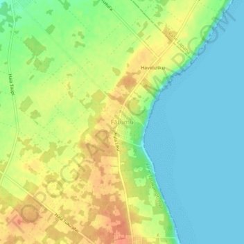
Name: Fātumu topographic map, elevation, terrain.
Location: Fātumu, Vahe Tatakamotonga, Tongatapu, Tonga (-21.23322 -175.12961 -21.19322 -175.08961)
Average elevation: 19 m
Minimum elevation: 0 m
Maximum elevation: 42 m
Other topographic maps
Click on a map to view its topography, its elevation and its terrain.