
Aniwa topographic map
Interactive map
Click on the map to display elevation.
About this map
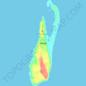
Name: Aniwa topographic map, elevation, terrain.
Location: Aniwa, Tafea, Vanuatu (-19.27660 169.58912 -19.21147 169.61433)
Average elevation: 3 m
Minimum elevation: -1 m
Maximum elevation: 50 m
Other topographic maps
Click on a map to view its topography, its elevation and its terrain.