
Misfah topographic map
Interactive map
Click on the map to display elevation.
About this map
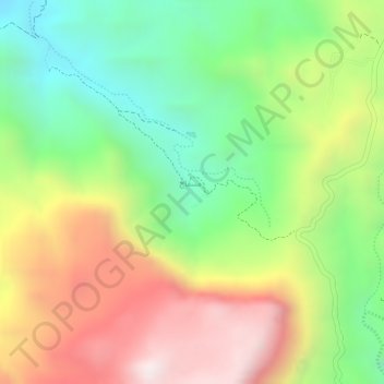
Name: Misfah topographic map, elevation, terrain.
Location: Misfah, Ad Dhahirah, Oman (23.22634 57.13426 23.22863 57.13552)
Average elevation: 1,451 m
Minimum elevation: 1,109 m
Maximum elevation: 1,834 m