
Cody topographic map
Interactive map
Click on the map to display elevation.
About this map
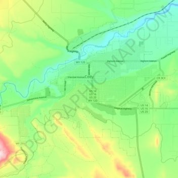
Name: Cody topographic map, elevation, terrain.
Location: Cody, Park County, Wyoming, WY 82414, USA (44.48981 -109.12048 44.54810 -109.00580)
Average elevation: 1,559 m
Minimum elevation: 1,436 m
Maximum elevation: 1,798 m