
Baptist topographic map
Interactive map
Click on the map to display elevation.
About this map
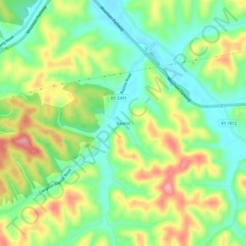
Name: Baptist topographic map, elevation, terrain.
Location: Baptist, Wolfe County, Kentucky, 41301, United States (37.71148 -83.49907 37.75148 -83.45907)
Average elevation: 320 m
Minimum elevation: 270 m
Maximum elevation: 393 m