
Mount Olive topographic map
Interactive map
Click on the map to display elevation.
About this map
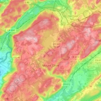
Name: Mount Olive topographic map, elevation, terrain.
Location: Mount Olive, Morris County, New Jersey, USA (40.80552 -74.82171 40.92084 -74.68118)
Average elevation: 280 m
Minimum elevation: 154 m
Maximum elevation: 380 m