
Makikihi topographic map
Interactive map
Click on the map to display elevation.
About this map
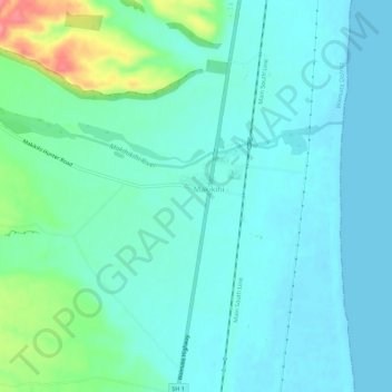
Name: Makikihi topographic map, elevation, terrain.
Location: Makikihi, Waimate District, Canterbury, 7978, New Zealand (-44.65284 171.11890 -44.61284 171.15890)
Average elevation: 18 m
Minimum elevation: 0 m
Maximum elevation: 91 m