
Jenks topographic map
Interactive map
Click on the map to display elevation.
About this map
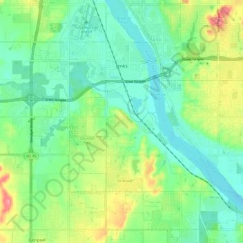
Name: Jenks topographic map, elevation, terrain.
Location: Jenks, Tulsa County, Oklahoma, 74037, USA (35.95893 -96.02982 36.04313 -95.91367)
Average elevation: 205 m
Minimum elevation: 175 m
Maximum elevation: 270 m