
Dawei topographic map
Interactive map
Click on the map to display elevation.
About this map
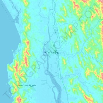
Name: Dawei topographic map, elevation, terrain.
Location: Dawei, Dawei District, Tanintharyi Region, 60101, Myanmar (13.91972 98.03902 14.23972 98.35902)
Average elevation: 52 m
Minimum elevation: -2 m
Maximum elevation: 579 m