
Scottsdale topographic map
Interactive map
Click on the map to display elevation.
About this map
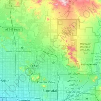
Name: Scottsdale topographic map, elevation, terrain.
Location: Scottsdale, Maricopa County, Arizona, USA (33.44803 -111.96097 33.90040 -111.75625)
Average elevation: 559 m
Minimum elevation: 322 m
Maximum elevation: 1,463 m