
Lake Oraekomiko topographic map
Interactive map
Click on the map to display elevation.
About this map
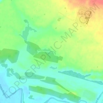
Name: Lake Oraekomiko topographic map, elevation, terrain.
Average elevation: 28 m
Minimum elevation: 5 m
Maximum elevation: 65 m
Other topographic maps
Click on a map to view its topography, its elevation and its terrain.
Lake Waipu
Lake Waipu, Rangatahi Road, Ratana, Rangitikei District, Manawatu-Wanganui, 4581, New Zealand
Average elevation: 30 m