
Blythe River topographic map
Interactive map
Click on the map to display elevation.
About this map
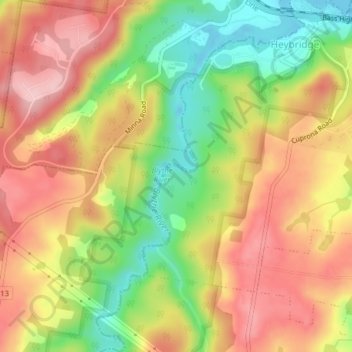
Name: Blythe River topographic map, elevation, terrain.
Location: Blythe River, Burnie, Tasmania, 7320, Australia (-41.10481 145.96371 -41.07514 145.98566)
Average elevation: 99 m
Minimum elevation: -5 m
Maximum elevation: 182 m