
Cloncurry topographic map
Interactive map
Click on the map to display elevation.
About this map
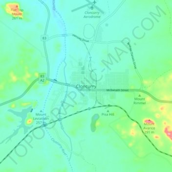
Name: Cloncurry topographic map, elevation, terrain.
Location: Cloncurry, Queensland, 4824, Australia (-20.74519 140.46583 -20.66519 140.54583)
Average elevation: 200 m
Minimum elevation: 176 m
Maximum elevation: 293 m