
Russell Island topographic map
Interactive map
Click on the map to display elevation.
About this map
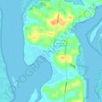
Name: Russell Island topographic map, elevation, terrain.
Location: Russell Island, Redland City, Queensland, Australia (-27.68654 153.35779 -27.64654 153.39779)
Average elevation: 8 m
Minimum elevation: -3 m
Maximum elevation: 43 m