
Pareora topographic map
Interactive map
Click on the map to display elevation.
About this map
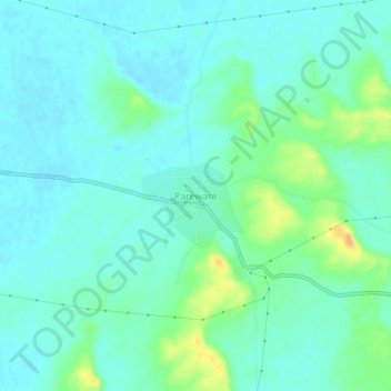
Name: Pareora topographic map, elevation, terrain.
Location: Pareora, Bidasar, Churu, Rajasthan, India (27.65592 74.12961 27.69592 74.16961)
Average elevation: 324 m
Minimum elevation: 314 m
Maximum elevation: 351 m