
Joe's River topographic map
Interactive map
Click on the map to display elevation.
About this map
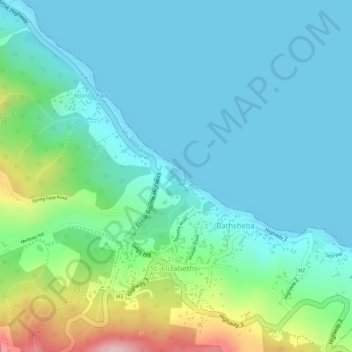
Name: Joe's River topographic map, elevation, terrain.
Location: Joe's River, Saint Joseph, Barbados (13.21654 -59.52739 13.21688 -59.52731)
Average elevation: 56 m
Minimum elevation: 0 m
Maximum elevation: 244 m
Other topographic maps
Click on a map to view its topography, its elevation and its terrain.