
Takou topographic map
Interactive map
Click on the map to display elevation.
About this map
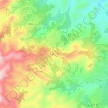
Name: Takou topographic map, elevation, terrain.
Location: Takou, Bui, Northwest, Cameroon (6.33376 10.68142 6.37376 10.72142)
Average elevation: 1,988 m
Minimum elevation: 1,795 m
Maximum elevation: 2,225 m