
Rotopouri topographic map
Interactive map
Click on the map to display elevation.
About this map
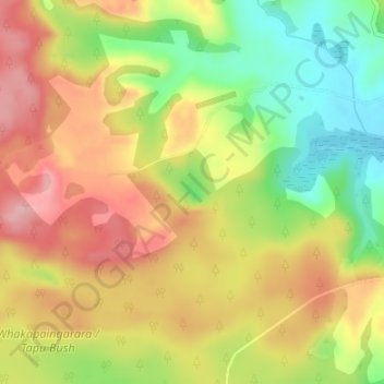
Name: Rotopouri topographic map, elevation, terrain.
Average elevation: 100 m
Minimum elevation: 11 m
Maximum elevation: 179 m
Other topographic maps
Click on a map to view its topography, its elevation and its terrain.
Phoebes Lake
Phoebes Lake, Pukemiro Road, Kellys Bay, Kaipara District, Northland, New Zealand
Average elevation: 122 m