
Penrith topographic map
Interactive map
Click on the map to display elevation.
About this map
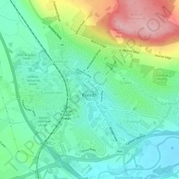
Name: Penrith topographic map, elevation, terrain.
Location: Penrith, Cumbria, North West England, England, United Kingdom (54.65342 -2.77516 54.67618 -2.72578)
Average elevation: 163 m
Minimum elevation: 110 m
Maximum elevation: 281 m