
Rotowhero (Green Lake) topographic map
Interactive map
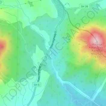
Click on the map to display elevation.
About this map
Name: Rotowhero (Green Lake) topographic map, elevation, terrain.
Average elevation: 456 m
Minimum elevation: 363 m
Maximum elevation: 712 m
Other topographic maps
Click on a map to view its topography, its elevation and its terrain.
Lake Tutaeinanga
New Zealand > Waikato > Waiotapu
Lake Tutaeinanga, Ngapouri Road, Waiotapu, Rotorua District, Waikato, New Zealand
Average elevation: 504 m
Lake Ngakoro
New Zealand > Waikato > Waiotapu
Lake Ngakoro, Wai-O-Tapu Geothermal Wonderland, Waiotapu, Rotorua District, Waikato, New Zealand
Average elevation: 349 m
Lake Whangioterangi (Echo Lake)
New Zealand > Waikato > Waiotapu
Lake Whangioterangi (Echo Lake), Wai-O-Tapu Geothermal Wonderland, Waiotapu, Rotorua District, Waikato, New Zealand
Average elevation: 359 m