
Kiritimati topographic map
Interactive map
Click on the map to display elevation.
About this map
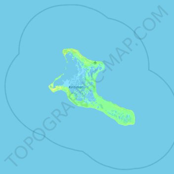
Name: Kiritimati topographic map, elevation, terrain.
Location: Kiritimati, Kiribati (1.49300 -157.76136 2.24900 -156.96274)
Average elevation: 0 m
Minimum elevation: -3 m
Maximum elevation: 11 m
Other topographic maps
Click on a map to view its topography, its elevation and its terrain.