
Kazbegi topographic map
Interactive map
Click on the map to display elevation.
About this map
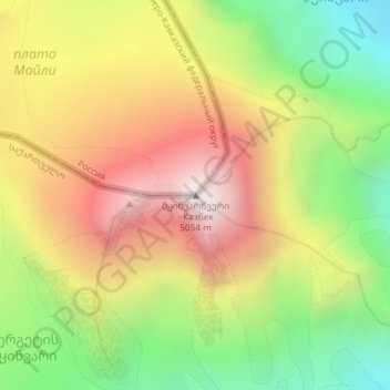
Name: Kazbegi topographic map, elevation, terrain.
Location: Kazbegi, Kazbegi Municipality, Mtskheta-Mtianeti, Georgia (42.69689 44.51806 42.69699 44.51816)
Average elevation: 4,324 m
Minimum elevation: 3,634 m
Maximum elevation: 5,032 m