
Llanarth topographic map
Interactive map
Click on the map to display elevation.
About this map
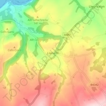
Name: Llanarth topographic map, elevation, terrain.
Location: Llanarth, Ceredigion, Wales, SA47 0NY, United Kingdom (52.17481 -4.32873 52.21481 -4.28873)
Average elevation: 134 m
Minimum elevation: 0 m
Maximum elevation: 252 m