
The Blues topographic map
Interactive map
Click on the map to display elevation.
About this map
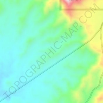
Name: The Blues topographic map, elevation, terrain.
Location: The Blues, Garfield County, Utah, USA (37.63074 -111.87139 37.65074 -111.85139)
Average elevation: 2,172 m
Minimum elevation: 2,074 m
Maximum elevation: 2,450 m
Other topographic maps
Click on a map to view its topography, its elevation and its terrain.