
Enderby Island topographic map
Interactive map
Click on the map to display elevation.
About this map
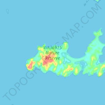
Name: Enderby Island topographic map, elevation, terrain.
Location: Enderby Island, Karratha, Western Australia, Australia (-20.62230 116.46331 -20.56761 116.58525)
Average elevation: 4 m
Minimum elevation: 0 m
Maximum elevation: 93 m