
Lake Elmer topographic map
Interactive map
Click on the map to display elevation.
About this map
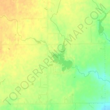
Name: Lake Elmer topographic map, elevation, terrain.
Location: Lake Elmer, N2810 Road, Kingfisher County, Oklahoma, USA (35.87822 -97.99412 35.88714 -97.98726)
Average elevation: 345 m
Minimum elevation: 325 m
Maximum elevation: 356 m
Other topographic maps
Click on a map to view its topography, its elevation and its terrain.
Razorback Mountain
Razorback Mountain, Pushmataha County, Oklahoma, 74557, USA
Average elevation: 231 m