
Greenville topographic map
Interactive map
Click on the map to display elevation.
About this map
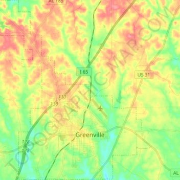
Name: Greenville topographic map, elevation, terrain.
Location: Greenville, Butler County, Alabama, 36037, United States (31.80192 -86.70243 31.91216 -86.57362)
Average elevation: 131 m
Minimum elevation: 96 m
Maximum elevation: 169 m