
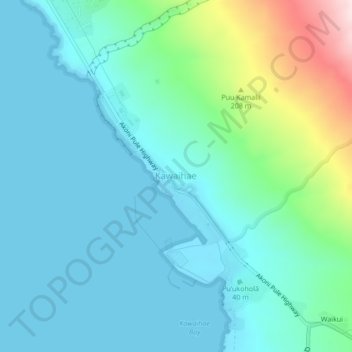
Kawaihae topographic map
Interactive map
Click on the map to display elevation.
About this map
Name: Kawaihae topographic map, elevation, terrain.
Location: Kawaihae, Hawaiʻi County, Hawaii, USA (19.99981 -155.86802 20.07981 -155.78802)
Average elevation: 151 m
Minimum elevation: 0 m
Maximum elevation: 767 m