
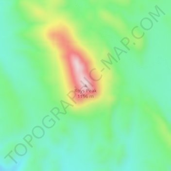
Roys Peak topographic map
Interactive map
Click on the map to display elevation.
About this map
Name: Roys Peak topographic map, elevation, terrain.
Location: Roys Peak, Brewster County, Texas, United States (29.35876 -103.05605 29.35886 -103.05595)
Average elevation: 945 m
Minimum elevation: 832 m
Maximum elevation: 1,189 m