
Allandale topographic map
Interactive map
Click on the map to display elevation.
About this map
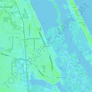
Name: Allandale topographic map, elevation, terrain.
Location: Allandale, Volusia County, Florida, 32127, USA (29.10165 -80.99644 29.14165 -80.95644)
Average elevation: 3 m
Minimum elevation: -2 m
Maximum elevation: 15 m