
Stephen topographic map
Interactive map
Click on the map to display elevation.
About this map
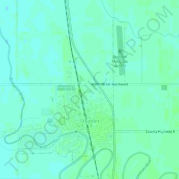
Name: Stephen topographic map, elevation, terrain.
Location: Stephen, Marshall County, Minnesota, 56757, United States (48.44443 -96.89218 48.46630 -96.86484)
Average elevation: 253 m
Minimum elevation: 249 m
Maximum elevation: 256 m