
Harrogate topographic map
Interactive map
Click on the map to display elevation.
About this map
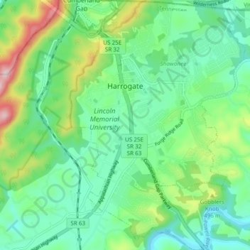
Name: Harrogate topographic map, elevation, terrain.
Location: Harrogate, Claiborne County, Tennessee, United States (36.54023 -83.67196 36.60040 -83.61935)
Average elevation: 416 m
Minimum elevation: 320 m
Maximum elevation: 635 m