
Barefield topographic map
Interactive map
Click on the map to display elevation.
About this map
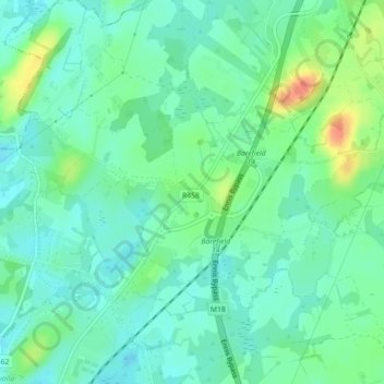
Name: Barefield topographic map, elevation, terrain.
Location: Barefield, County Clare, Munster, Ireland (52.88534 -8.95753 52.89019 -8.94506)
Average elevation: 21 m
Minimum elevation: 7 m
Maximum elevation: 54 m