
El Paso County topographic map
Interactive map
Click on the map to display elevation.
About this map
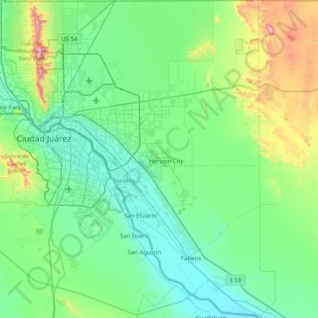
Name: El Paso County topographic map, elevation, terrain.
Location: El Paso County, Texas, United States of America (31.38729 -106.64585 32.00253 -105.95427)
Average elevation: 1,267 m
Minimum elevation: 1,083 m
Maximum elevation: 2,150 m
Other topographic maps
Click on a map to view its topography, its elevation and its terrain.
Lake Medina Highlands
United States of America > Texas > Lakehills > Lake Medina Highlands
Average elevation: 344 m