
Sungai topographic map
Interactive map
Click on the map to display elevation.
About this map
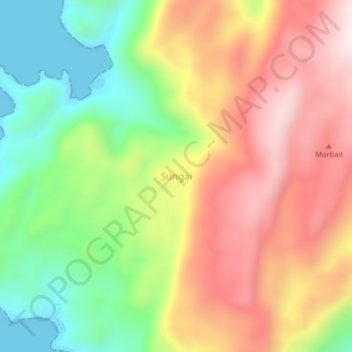
Name: Sungai topographic map, elevation, terrain.
Location: Sungai, Maluku, Indonesia (-5.89009 132.87921 -5.85009 132.91921)
Average elevation: 285 m
Minimum elevation: -4 m
Maximum elevation: 579 m