
Ross Store topographic map
Interactive map
Click on the map to display elevation.
About this map
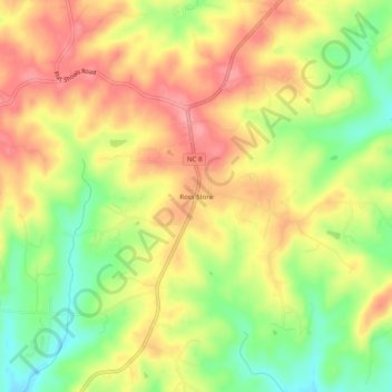
Name: Ross Store topographic map, elevation, terrain.
Location: Ross Store, Stokes County, North Carolina, United States (36.32042 -80.24005 36.36042 -80.20005)
Average elevation: 302 m
Minimum elevation: 248 m
Maximum elevation: 346 m