
Copper Creek Golf Course topographic map
Interactive map
Click on the map to display elevation.
About this map
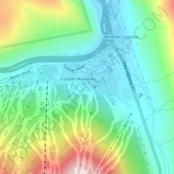
Name: Copper Creek Golf Course topographic map, elevation, terrain.
Average elevation: 3,100 m
Minimum elevation: 2,950 m
Maximum elevation: 3,458 m