
Canyon topographic map
Interactive map
Click on the map to display elevation.
About this map
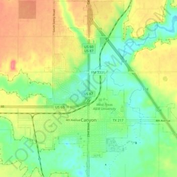
Name: Canyon topographic map, elevation, terrain.
Location: Canyon, Randall County, Texas, 79016, United States (34.95691 -101.95461 35.02874 -101.86594)
Average elevation: 1,087 m
Minimum elevation: 1,056 m
Maximum elevation: 1,127 m