
Campbellton topographic map
Interactive map
Click on the map to display elevation.
About this map
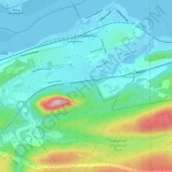
Name: Campbellton topographic map, elevation, terrain.
Location: Campbellton, Restigouche County, New Brunswick, Canada (47.97425 -66.70115 48.01260 -66.64510)
Average elevation: 62 m
Minimum elevation: -4 m
Maximum elevation: 263 m