
Chestertown topographic map
Interactive map
Click on the map to display elevation.
About this map
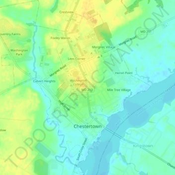
Name: Chestertown topographic map, elevation, terrain.
Location: Chestertown, Kent County, Maryland, 21620, United States (39.19851 -76.09469 39.23594 -76.04911)
Average elevation: 11 m
Minimum elevation: 0 m
Maximum elevation: 25 m