
Fritsla topographic map
Interactive map
Click on the map to display elevation.
About this map
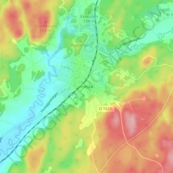
Name: Fritsla topographic map, elevation, terrain.
Location: Fritsla, Marks kommun, Västra Götaland County, 51172, Sweden (57.53187 12.76659 57.57187 12.80659)
Average elevation: 103 m
Minimum elevation: 44 m
Maximum elevation: 185 m