
Newry topographic map
Interactive map
Click on the map to display elevation.
About this map
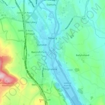
Name: Newry topographic map, elevation, terrain.
Location: Newry, County Down, Northern Ireland, United Kingdom (54.14495 -6.36011 54.19597 -6.30507)
Average elevation: 73 m
Minimum elevation: -3 m
Maximum elevation: 326 m
Other topographic maps
Click on a map to view its topography, its elevation and its terrain.